Next-generation sustainability powered by autonomous systems, AI data and advanced modelling.
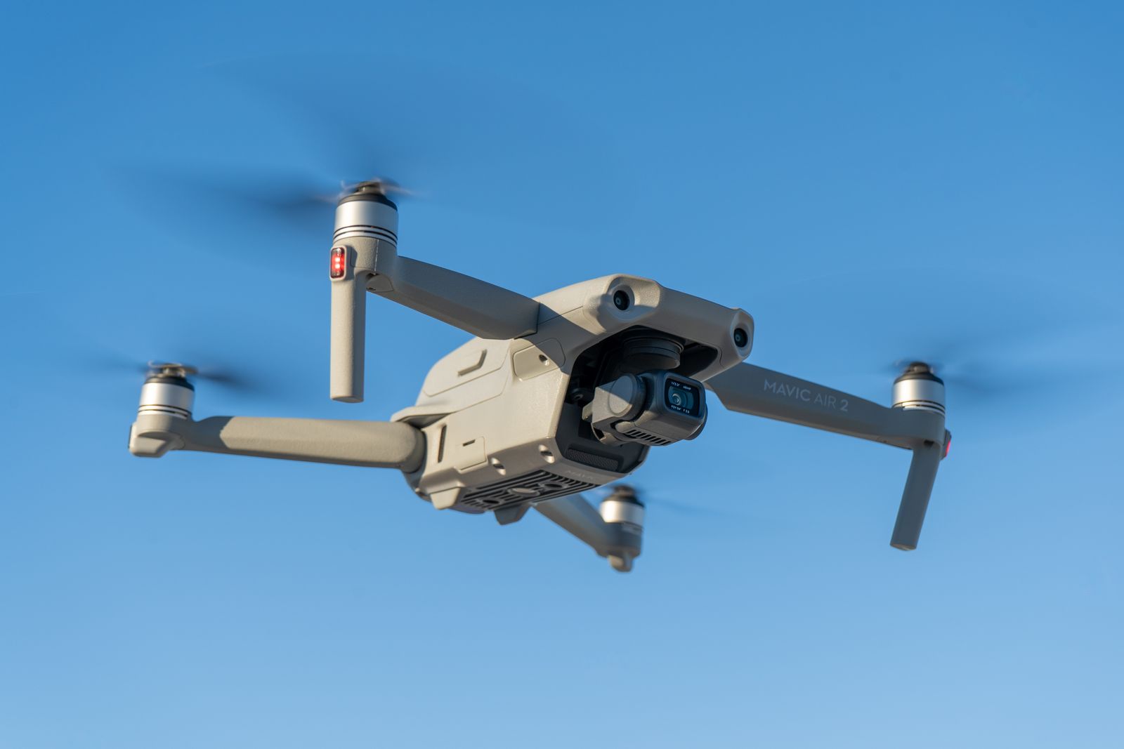
Deploying advanced autonomous drone fleets to deliver high-resolution mapping, pipeline corridor surveillance, offshore asset monitoring and rapid, zero-risk ecological data collection across the Middle East and globally.
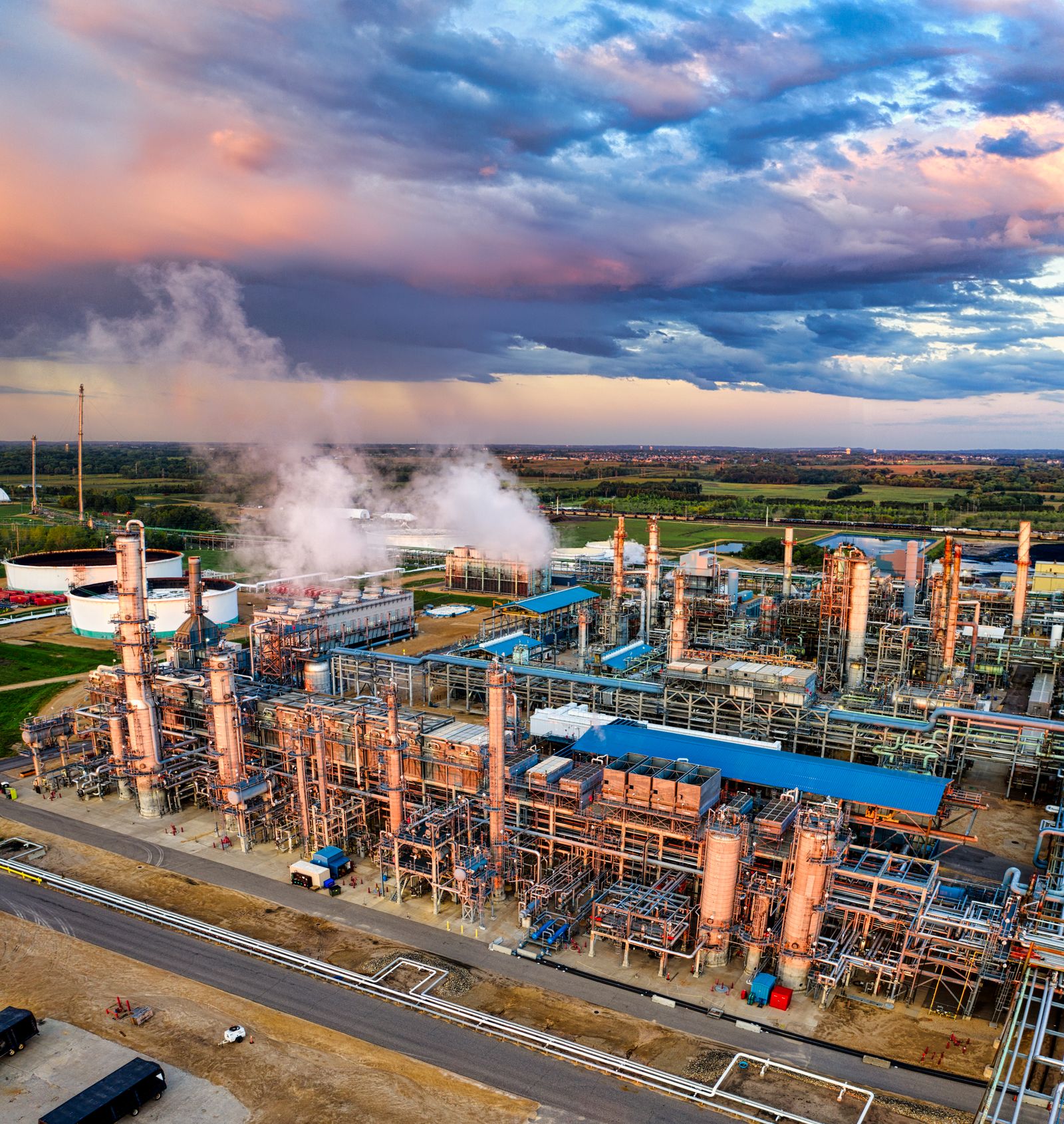
Comprehensive EIA services tailored for large-scale oil, gas and infrastructure developments — baseline environmental studies, impact prediction and mitigation planning, integrating advanced modelling, stakeholder engagement and regulatory compliance across every project phase.
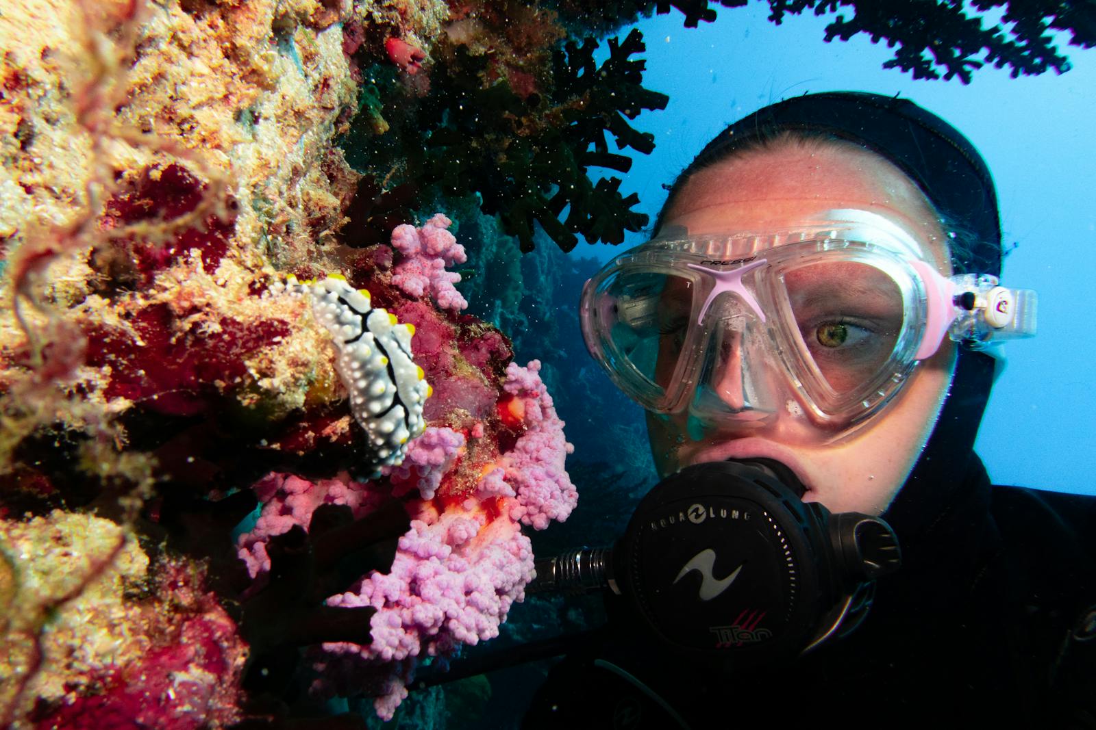
Precision floral and faunal habitat mapping, wetland delineation and deep-water marine impact assessments driven by advanced GIS applications and aerial photography interpretation.
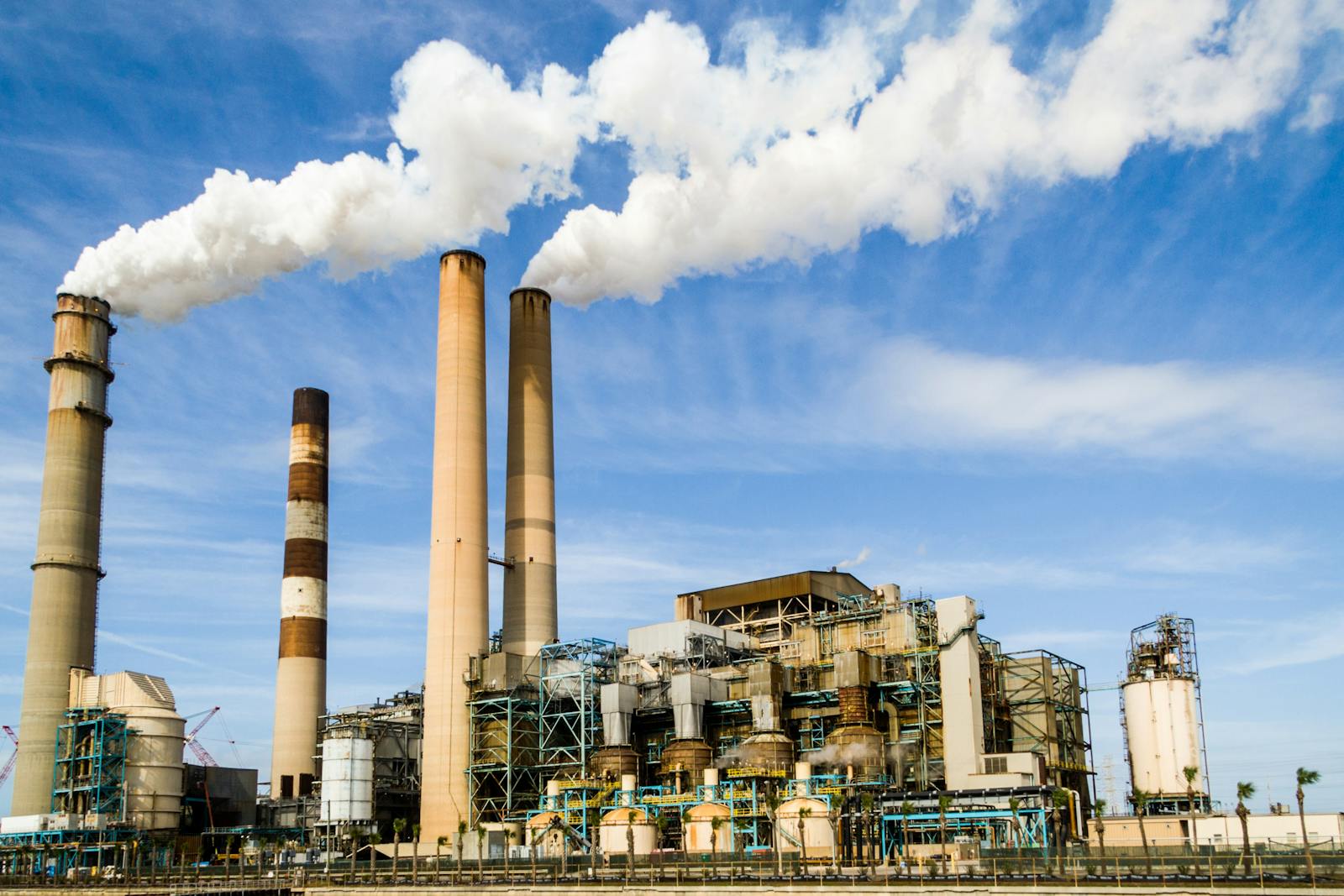
Next-generation air dispersion modelling (AERMOD / CALPUFF), noise monitoring and propagation mapping (SoundPLAN) and technical engineering solutions for advanced pollution control devices.
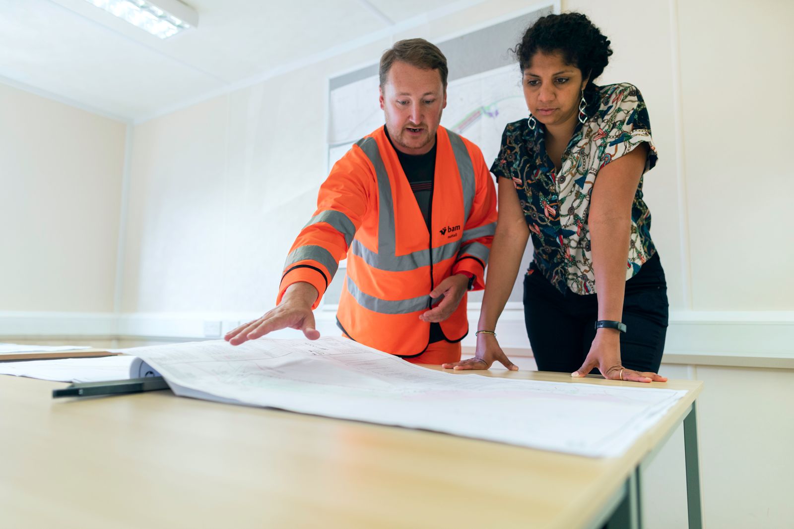
Seamless regulatory navigation providing Phase I and II Environmental Site Assessments, permitting strategy development, liability reports and complete stakeholder consultation support to meet international benchmarks.
Our specialists will respond with a tailored approach.
Talk to our team →